- All Posts
- 3D FLOOR PLANS
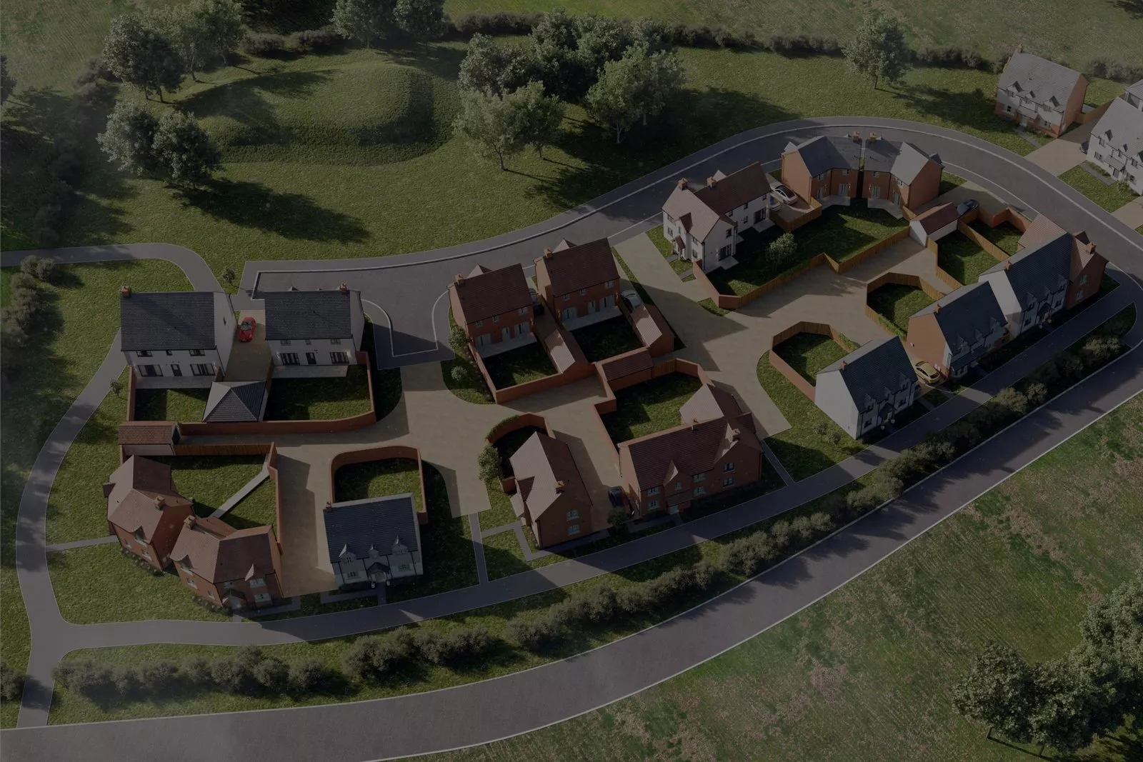
- CGI Site Plans
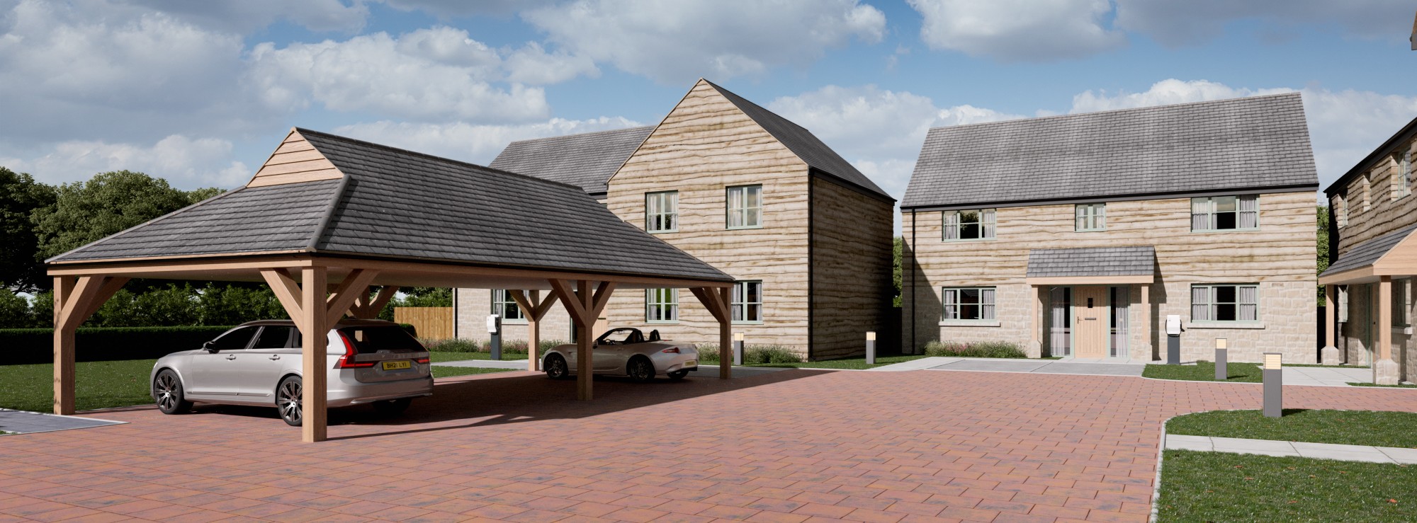
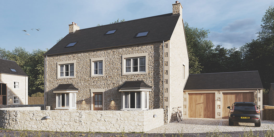
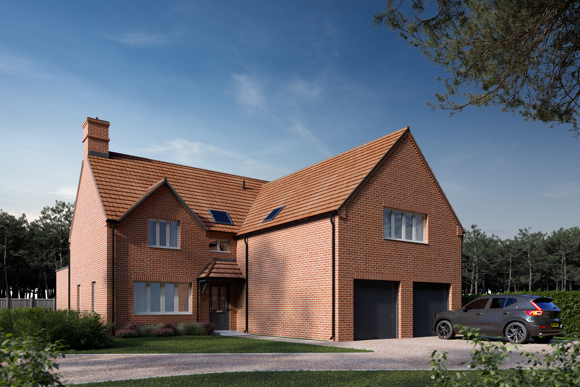
- EXTERIOR CGI
- Interior CGI
- Joanna James Map Portal
- Photomontage
- Back
- Ordnance Survey Mapping
- Height & LiDAR Data
- Aerial Imagery
- 3D Digital Models
- BGS Geology Mapping & Data
- Groundsure Environmental reports
- Underground Utility Report Searches
- CGI Visualisation
- Planning Application Maps
- Ordnance Survey MasterMap
- Back
- Planning Application Maps
- Ordnance Survey MasterMap
Virtual property tours for property developers UK are now a practical tool for improving design communication, planning clarity and stakeholder...

3D floor plans for property listings are now widely used across UK property marketing because they improve how spatial layouts...

CGI site plans for new housing developments are now a core part of how UK planners, developers and consultants communicate...

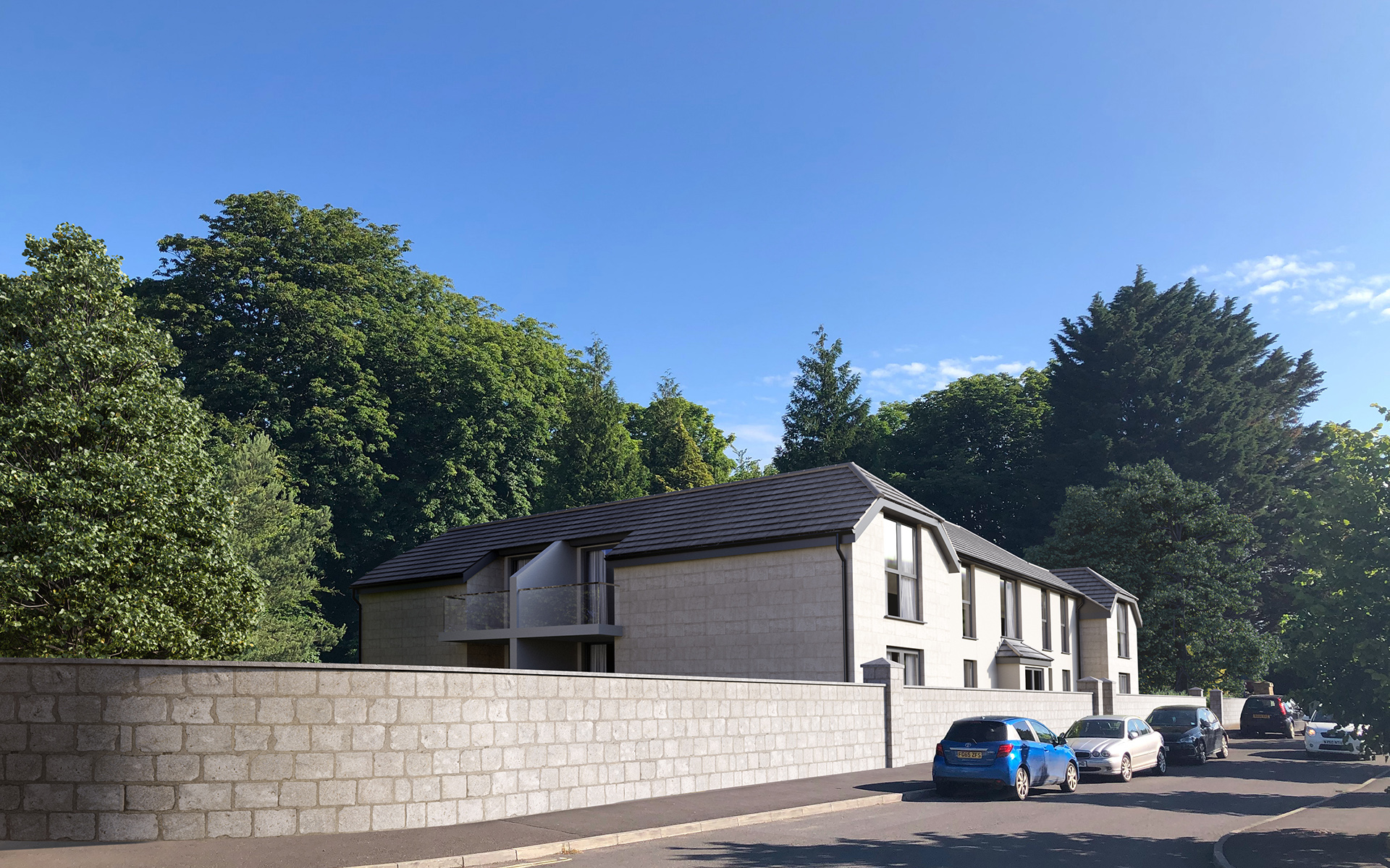
CGI visualisations for planning applications help developers show how a proposed scheme will look before construction begins. They make design...
Unclear site layouts can slow decisions. A proposed housing scheme may be technically sound, yet still difficult for planning officers,...
For developers, selling a new build home often starts before the first buyer can walk through the door. Architectural visualisation...
Exterior vs interior CGI is an important decision for architects, developers, planners and property consultants who need to present a...
Choosing between photomontage vs standard architectural rendering is one of the most important early decisions in a development project. The...

Lighting and materials in interior CGI rendering are what separate a convincing visual from one that feels artificial. In UK...