CHOOSE STANDARD OR UPGRADED LEVEL 1 MODEL
Level 1 Models OS MasterMap & OS terrain 5 height data included as standard with every order! Basic 3D Massing Models using OS MasterMap Topographic layer & building heights. Developed & delivered by Joanna James.

STANDARD
All Level 1 Models include OS MasterMap as a base & OS terrain 5 height topography data included as standard with every order! OS MasterMap Topographic layer is used to extrude polygons to known building heights.
3D Model – SKP / DWG
Base Map – OS MasterMap
Topography – OS Terrain 5 (100cm accuracy)

UPGRADE OPTIONS
Pick & choose the options to suit your project’s needs. Each upgrade is priced additionally.
Enhanced Topography – Use LiDAR (15cm accuracy)
Tree Layer – add in known trees/hedge rows
Aerial Photo – add as a layer for 3D model to sit upon
OS VML – 1:10k – provides additional context for larger sites

BUILDINGS
You’ll note – buildings are “shoe-box” like cubes in appearance.
They do not have any roof features or pitch / elevation.
Buildings are extruded to known ridge height.

USES
Clients typically use Level 1 massing models for larger developments where high accuracy isn’t critical at an affordable price.
Previous Level 1 projects include HS2 & out of town residential developments.

TURNAROUND
Typically 1-2 working days depending on workload and job size.
We’re essentially providing you with the nuts and bolts to drop into software such as Sketchup and create amazing renders.

FORMATS
SKP & DWG outputs.
Level 1 models work in AutoCAD & Revit. Best result are found in Sketchup.
If unsure, we always recommend trying out the sample below.
POWERED BY ORDNANCE SURVEY DATA
Standard Level 1 Models are built using Ordnance Survey Data. OS MasterMap & OS terrain 5 topography data produce the base with building footprints extruded to known ridge heights to create a 3D Massing Model.
INCLUDES OS MASTERMAP
With every Level 1 order you get OS MasterMap included. Level 1 models represent phenomenal value for money, considering prices include 3D model, Topography & base mapping.
RENDERING
Rendered images are produced by clients importing the level 1 data into Sketchup, then importing either the OS image or the aerial image into sketchup, scaling appropriately and applying to the ground plane as a texture. Then use a plug in called Laubwerk to replace the tree components with low-poly place holders for the more detailed trees. Finally a render plug-in called V-Ray is used to tweak the exposure and detail settings and render out the final images. Finally just do a quick check in Photoshop to make any final tweaks needed.
LEVEL 1 – STANDARD -PRICES
Level 1 3D Massing Models from Joanna James are an inexpensive start point for Architects & Planners wanting to visualise projects.
Size
- Max size (ha)
- Turnaround
- File Type
- Software required
- Included Mapping
- Included Topography
250x250m
- 6.2ha
- 1-2 Days
- SKP, DXF
- Sketchup, CAD, Revit
- OS MasterMap
- OS Terrain 5
500x500m
- 25ha
- 1-2 Days
- SKP, DXF
- Sketchup, CAD, Revit
- OS MasterMap
- OS Terrain 5
1000x1000m
- 100ha
- 1-2 Days
- SKP, DXF
- Sketchup, CAD, Revit
- OS MasterMap
- OS Terrain 5
<1000x1000m
- n/a
- 1-2 Days
- SKP, DXF
- Sketchup, CAD, Revit
- OS MasterMap
- OS Terrain 5
LEVEL 1 QUOTES
Complete simple order form & upload site location plan to quote for Level 1 basic 3D Massing Model quotes from Joanna James.
Probably the best value 3D Massing Models in the World.

PRE APPLICATION GOLD DUST
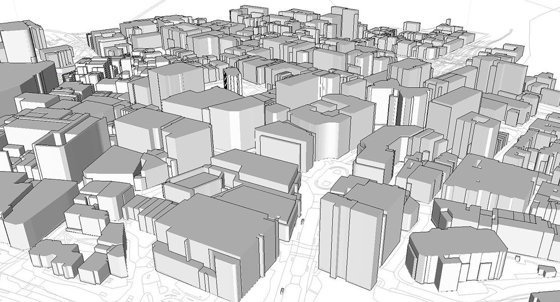
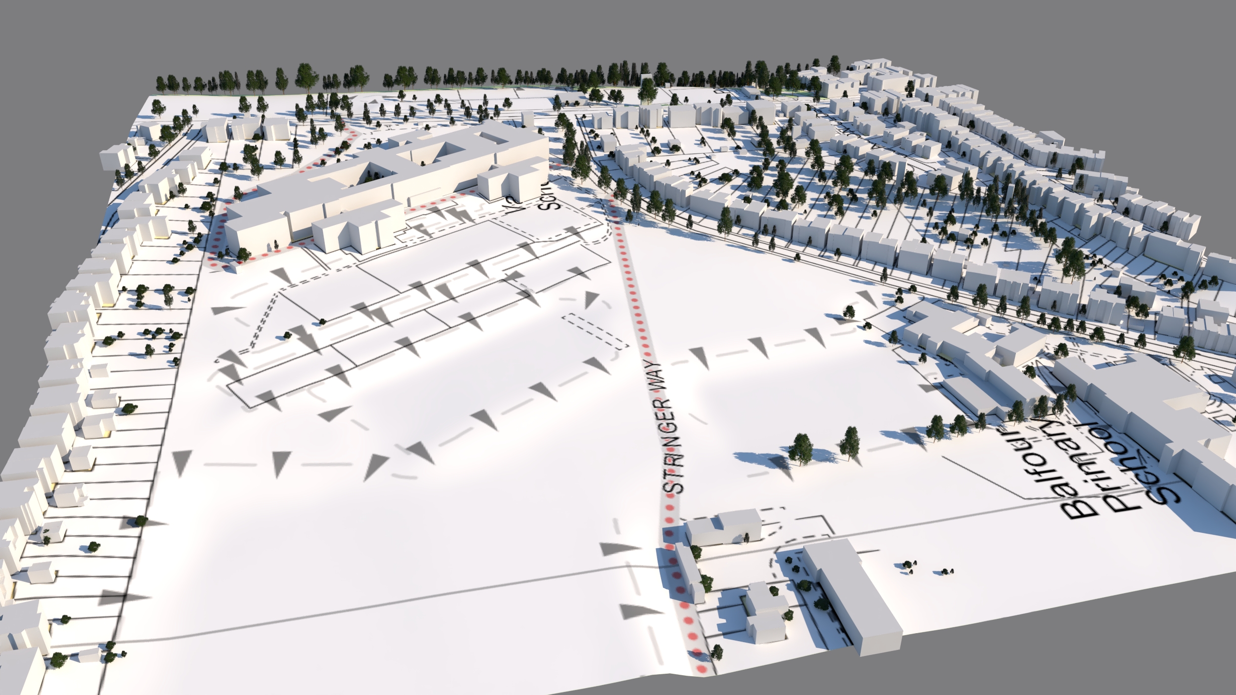
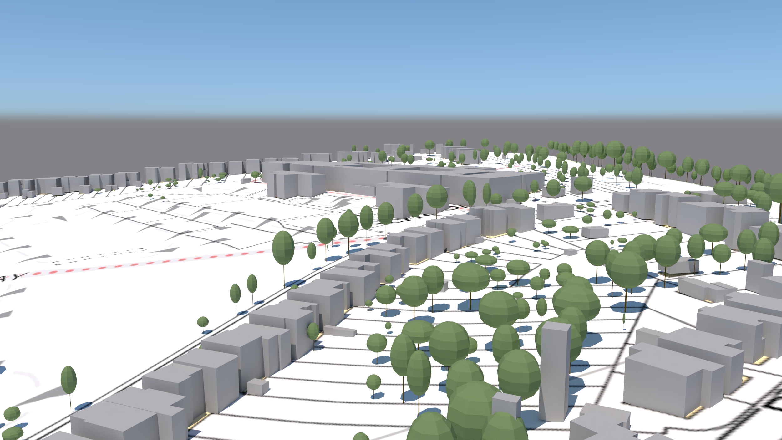
Yep they’re simplistic – but the Level 1 3D model from Joanna James packs a punch especially when budget is tight at pre-application stage. Save time & money with Joanna James Level 1 3D Massing Models. We send you a CAD, or Sketchup ready model. So you can get on with doing what you do best.

FOR ARCHITECTS, DEVELOPERS & PLANNERS
Pre-tender projects costs must be minimal. Joanna James 3D Massing Models are developed with this in mind. Most likely you’ll already have the expenditure of OS Mapping…. the really great news is, for not much more expenditure you get a 3D Model with Topography!