Virtual property tours for property developers UK are now a practical tool for improving design communication, planning clarity and stakeholder

3D floor plans for property listings are now widely used across UK property marketing because they improve how spatial layouts

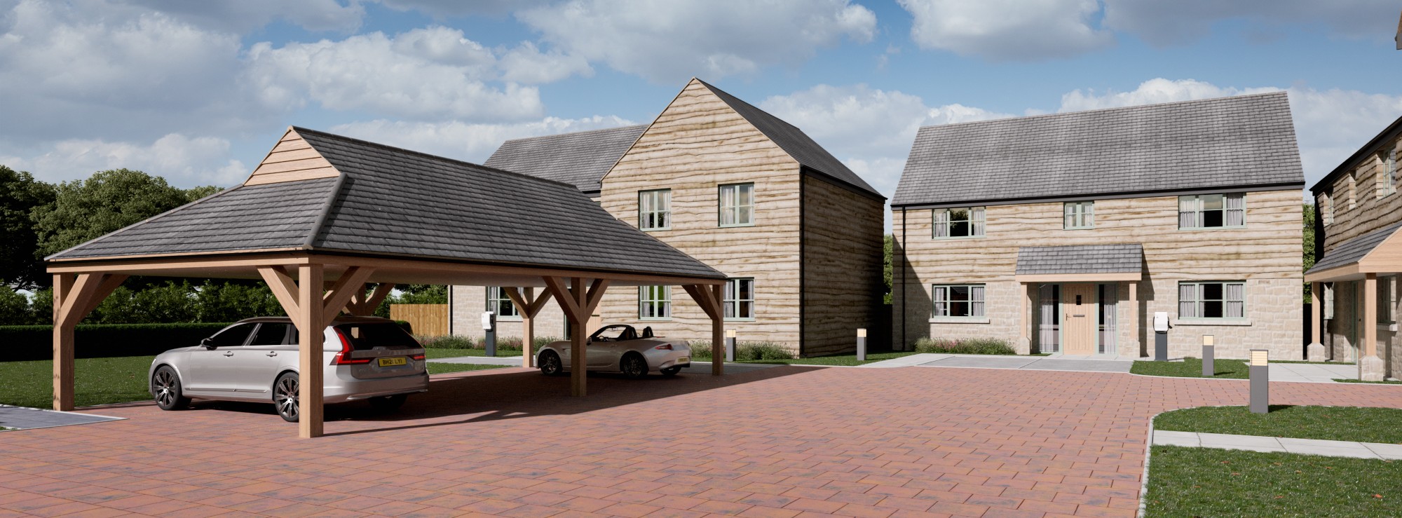
CGI site plans for new housing developments are now a core part of how UK planners, developers and consultants communicate