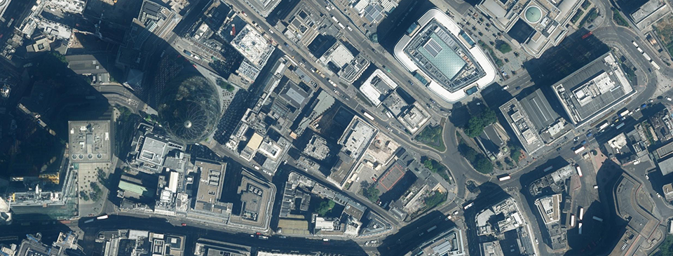
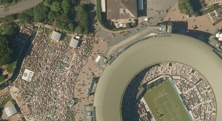
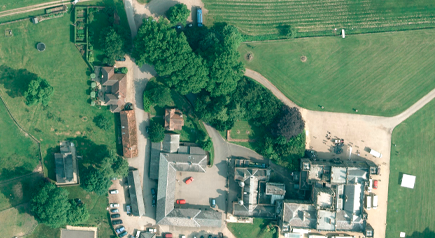
Aerial photos covering the whole of Great Britain.
DATASETS AVAILABLE
Joanna James have got the lot. Prices from £10. Check out the overview below of all Aerial Imagery sets currently available.
Supplier
Resolution
Date Range
Coverage
Updates
WMS Available
Ordnance Survey
25 cm
2008 onwards
GB
3-5 Years
No
Get Mapping
12.5-25 cm
1999 onwards
GB
3-5 Years
Yes
Bluesky
10-25 cm
1999 onwards
GB
3-5 Years
No
LPS Northern Ireland
25 cm
2008 onwards
NI
3-5 Years
No
Blom
–
–
Limited
5-10 Years
No
Cities Revealed
5-25 cm
1940 onwards
Limited
–
–
RESOLOUTION
The lower the resolution of Aerial Imagery the greater clarity.
Aerial Imagery from 12.5 cm to 50 cm resolution accuracy. Each pixel of an aerial image represents a distance on the ground, therefore 12.5 cm resolution is often more accurate than say 25 cm as twice as much detail is captured per pixel.
Supplied as a JPEG with a JGW file for georeferencing
Order downloads are generally instant. However, larger images can take longer to process.
Resolution
The lower the resolution the greater the clarity of image.
12.5 cm to 50 cm resolution accuracy. Each pixel of an aerial image represents a distance on the ground, therefore 12.5 cm resolution is often more accurate than say 25 cm as twice as much detail is captured per pixel.