Skip to content
Products
Services
3D Models
CGI Visualisations
UAV Drone Services
Underground Utility Reports
Ordnance Survey
OS MasterMap
Other Ordnance Survey Maps
Planning Maps
Historical Mapping
Other Map Portal Products
Aerial Imagery
BGS Maps & Data
Environmental Reports
Height Data & LiDAR
3D Models
Options
Overview
Level 1 Models
Level 2 Models
Level 3 Models
Level 4 Models
City 3D Models
London 3D Model
Bristol 3D Model
Cardiff 3D Model
Dublin 3D Model
£250 London 3D Models
Info
FAQs
Methodology
Prices
Samples
Visuals
Gallery
Video Gallery
Interactive Model
CGI Visualisations
CGI Visualisations
Latest CGI work
Exteriors CGIs
Interior CGIs
Virtual Reality 360s
Photomontage
Animation
CGI Site Plans
Section & Elevation Renders
Projects in Focus
Case Study: CGI New Build Development
Survey
Map Portal
News
Contact
BGS Maps & Data
Rob Stringer
2017-02-03T06:32:41+00:00
British Geological Survey Mapping Data
BGS mapping & data includes latest interpretations & land stability evaluations.
MAP PORTAL
BGS 50k
50k geology + 50k OS mapping.
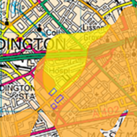
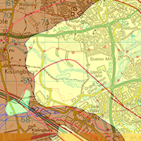
INFO
BGS GeoSure
Subsidence maps.
INFO
BGS 50k + GeoSure
Rock types & stability.
INFO
BGS 10k
10k Geology + 10k OS Map.
INFO
Order now from Joanna James Map Portal
ENTER
Go to Top