- All Posts
- 3D FLOOR PLANS
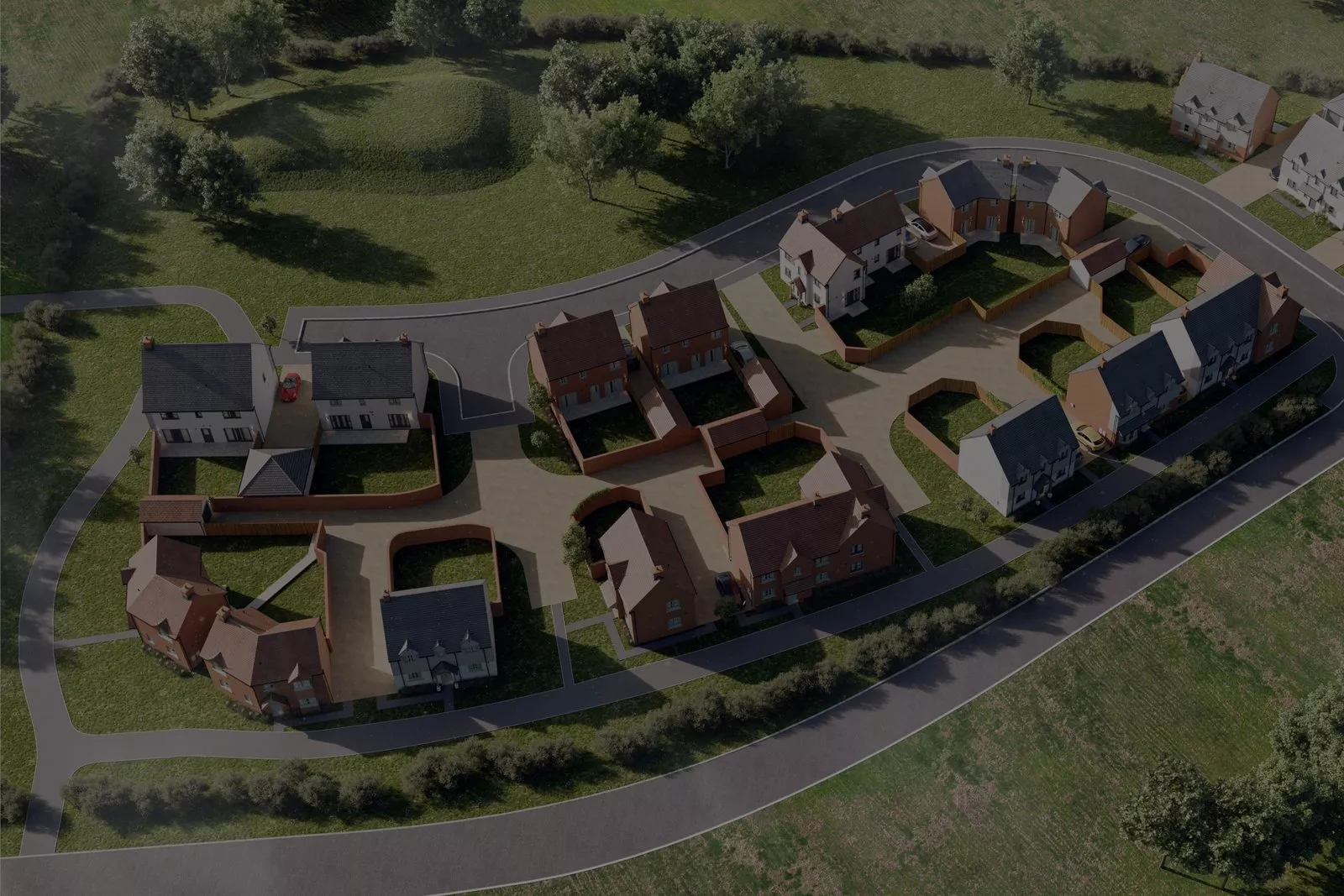
- CGI Site Plans
- EXTERIOR CGI
- Interior CGI
- Joanna James Map Portal
- Photomontage
- Back
- Ordnance Survey Mapping
- Height & LiDAR Data
- Aerial Imagery
- 3D Digital Models
- BGS Geology Mapping & Data
- Groundsure Environmental reports
- Underground Utility Report Searches
- CGI Visualisation
- Planning Application Maps
- Ordnance Survey MasterMap
- Back
- Planning Application Maps
- Ordnance Survey MasterMap

Interior CGI for residential developments plays a central role in how modern schemes are approved, marketed and sold across the...

Interior renders for property buyers now sit at the centre of UK property marketing. Buyers expect more than floor plans....
Securing planning permission in the UK often comes down to one question: can decision makers clearly see what you are...

Interior CGI visualisation for property marketing has become a defining factor in how developments are presented, understood and ultimately sold...

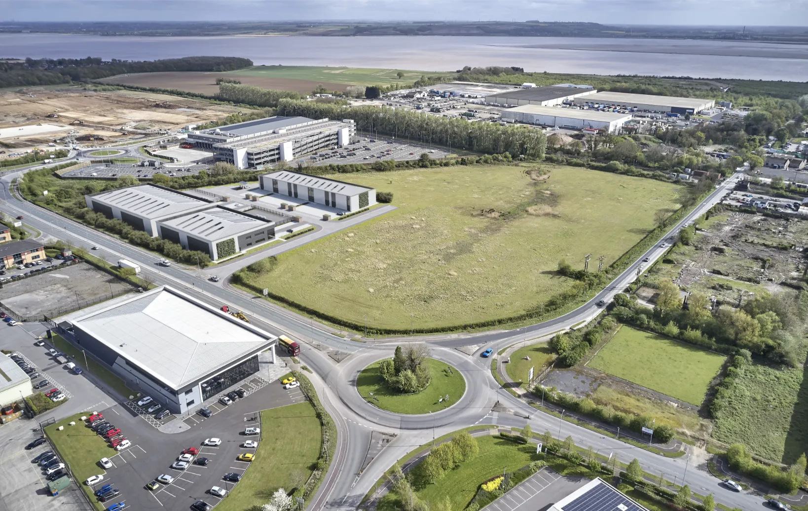
Exterior CGI for commercial developments has become a decisive factor in how projects are approved, funded and marketed across the...

Exterior CGI for planning committees is now a critical part of successful planning applications across the UK. Planning officers and...
Architectural exterior renders UK developers rely on are no longer optional. They sit at the centre of planning approval, stakeholder...
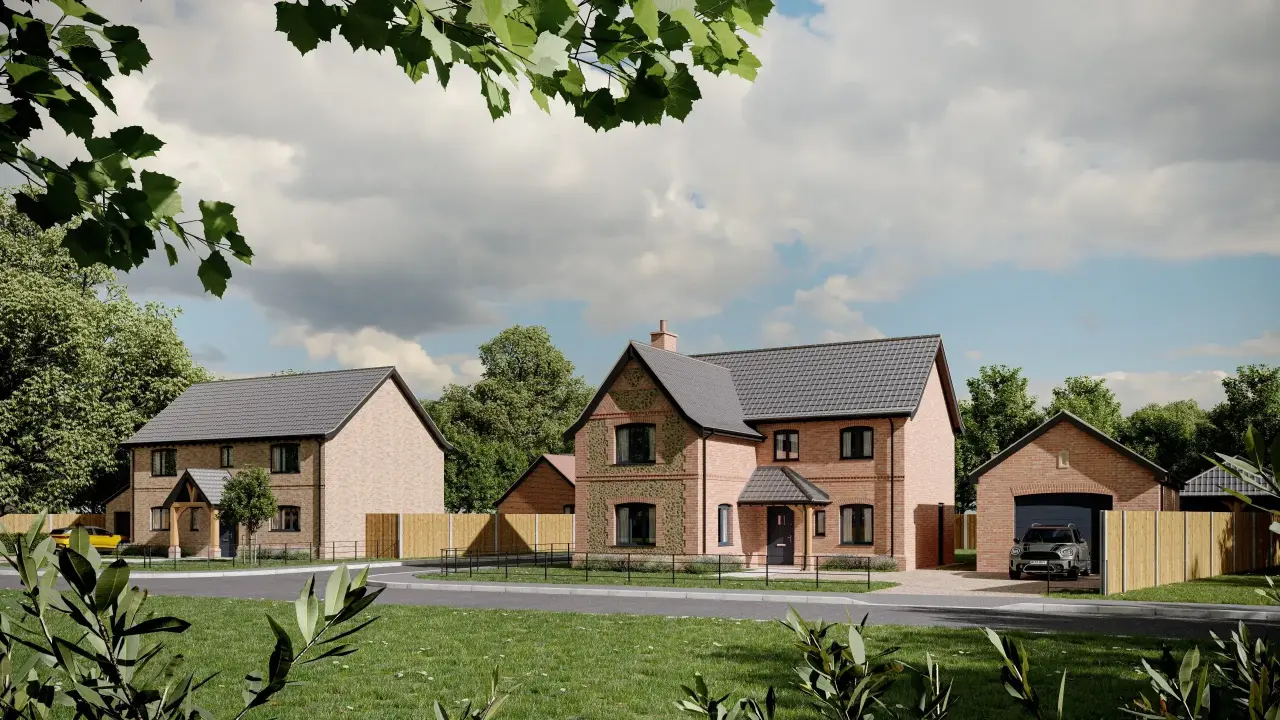
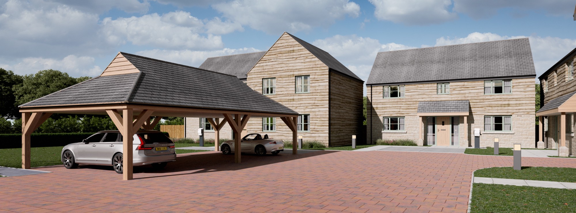
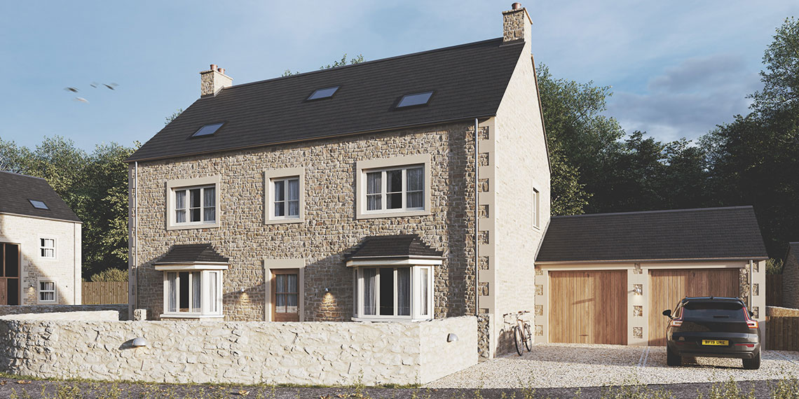
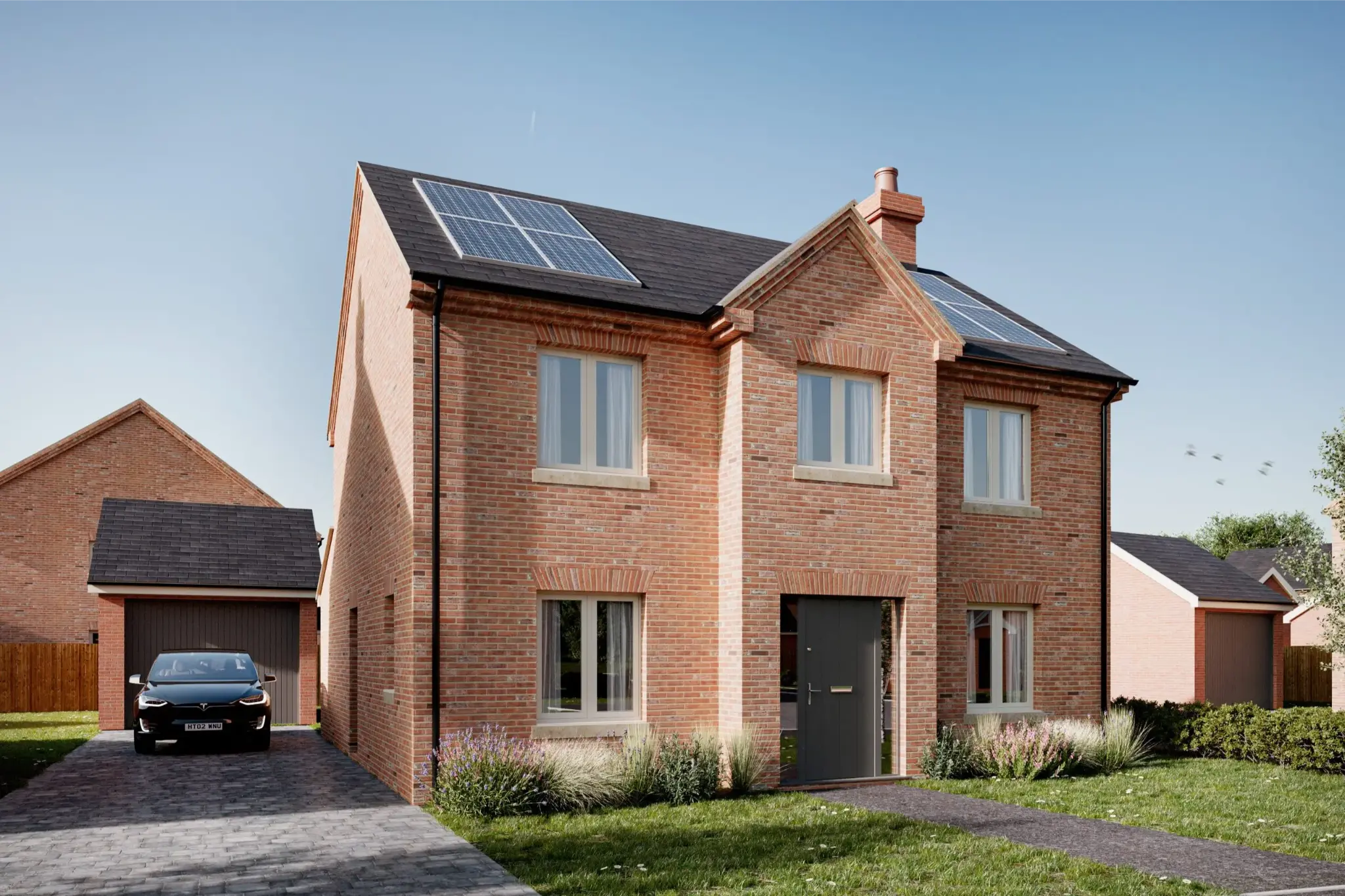
Exterior CGI visualisations for housing developments have become a core requirement for modern UK property projects. Developers, architects and planning...

Architectural drawings are essential for construction, yet they are rarely easy for non specialists to interpret. Lines, elevations and technical...