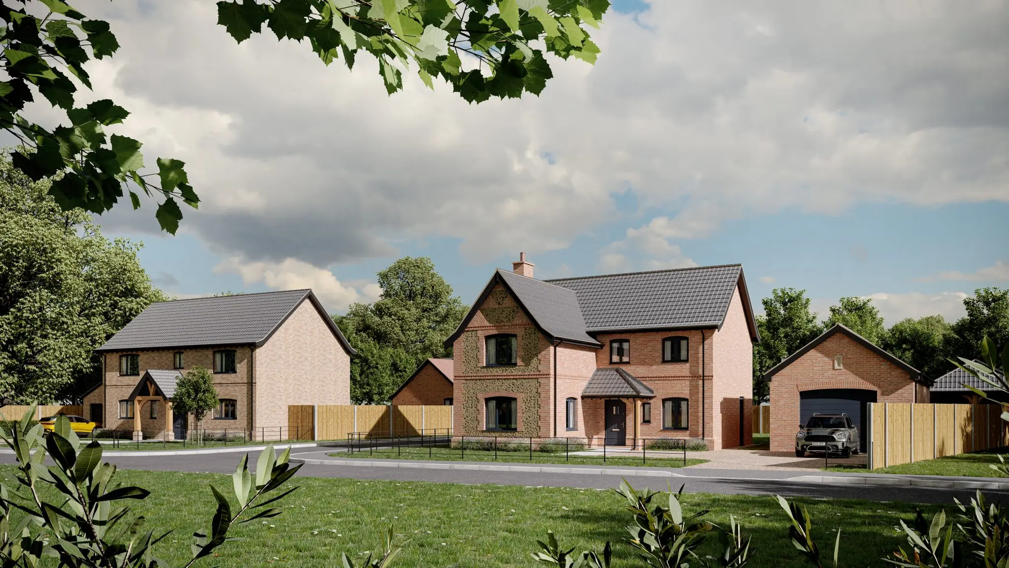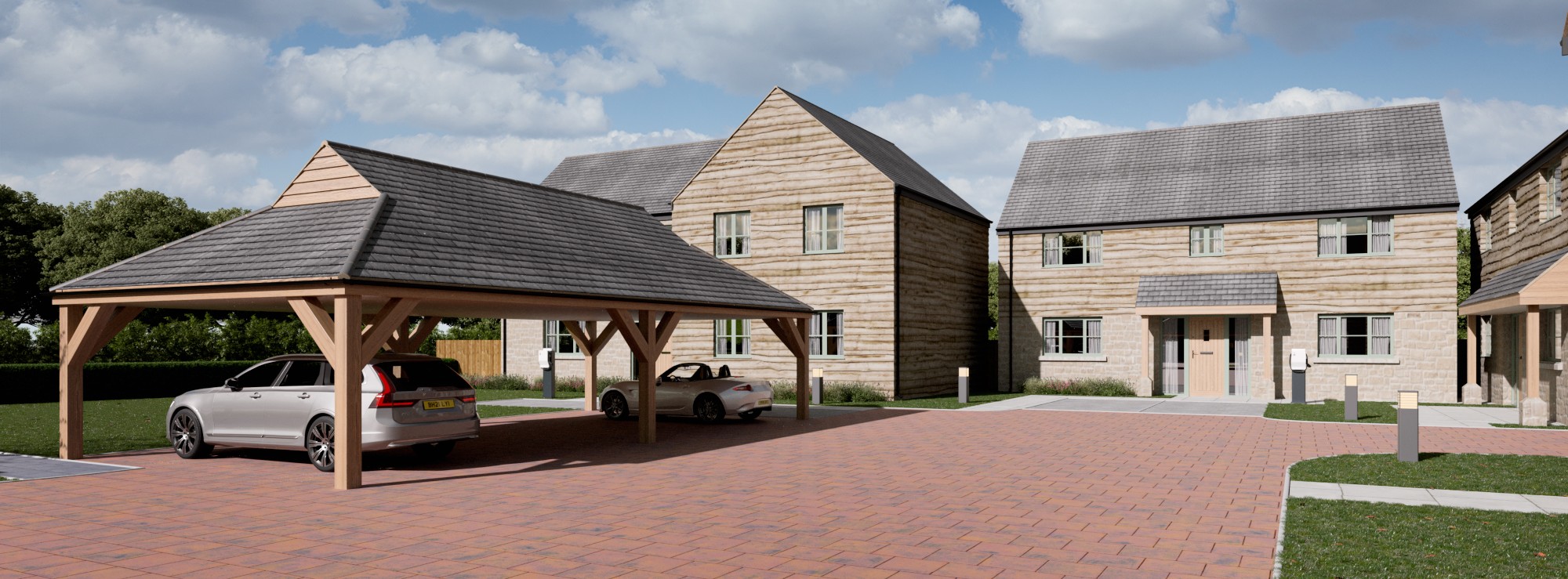
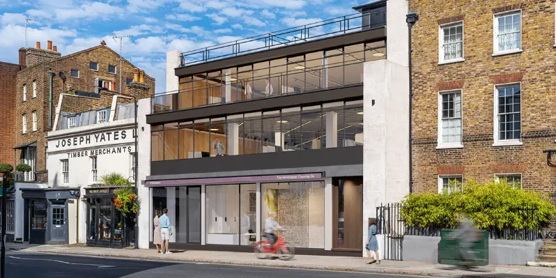
Virtual property tours for property developers UK are now a practical tool for improving design communication, planning clarity and stakeholder alignment across early stage developments. They allow complex schemes to be understood visually before construction begins. In the UK built environment, this has become increasingly relevant for planning submissions and design reviews where clarity directly influences decision making.
For developers, the challenge is not presentation alone but accuracy and context. A credible virtual tour should reflect OS mapping, survey data and design intent without distortion, ensuring what stakeholders see matches what is being proposed on site.
What virtual property tours are and why they matter
Virtual property tours are interactive digital environments built from architectural models, survey data and CGI outputs to simulate a real development in a navigable format.
They matter because they help developers, planners and consultants evaluate a scheme spatially before construction begins. This reduces ambiguity in communication and supports clearer decision making across project teams.
Rather than replacing drawings, they translate technical information into an accessible visual experience that can be reviewed from multiple perspectives, including design, planning and stakeholder engagement.

Why virtual property tours matter in UK planning and development workflows
Virtual property tours are increasingly used within UK planning and development processes to support design communication and consultation stages.
They help translate technical planning applications into clearer visual narratives. Local planning authorities often assess schemes using a combination of drawings, reports and visual material and interactive walkthroughs can improve understanding of scale, massing and site context.
In more complex developments, they sit alongside photomontages and verified views, helping align architects, engineers and consultants around a shared representation of the scheme.
Technical considerations behind virtual property tours
Virtual property tours rely on structured technical inputs rather than purely visual modelling. Their accuracy depends on how well these datasets are aligned and maintained.
Typical inputs include:
- OS MasterMap base data for site context
- Measured building surveys for existing conditions
- CAD files such as DWG for design geometry
- BIM models from Revit or SketchUp workflows
- GIS datasets for spatial analysis and planning context
- LiDAR and height data for terrain and elevation accuracy
These datasets are combined to create a spatially accurate environment that reflects both existing conditions and proposed development.
Photomontage techniques may also be integrated where planning submissions require visual verification against real world imagery.
Developers often use this stage to ensure alignment between design intent and site conditions before progressing to consultation or submission.
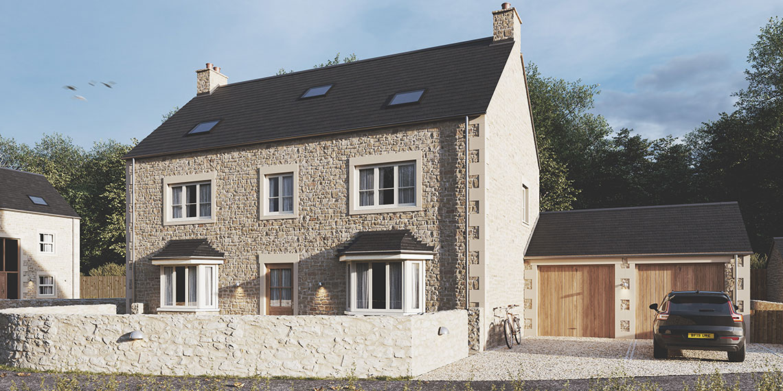
Common mistakes in virtual property tour delivery
One of the most common issues is over prioritising visual appearance over spatial accuracy. This can result in outputs that look compelling but do not reflect planning reality.
Other frequent issues include:
- Using outdated or inconsistent survey data
- Misalignment between CAD geometry and OS mapping
- Ignoring surrounding built environment context
- Oversimplifying models to the point of losing design intent
Another challenge is treating virtual tours as purely marketing tools rather than construction aligned outputs. When this happens, the result often lacks the precision required for planning or technical review.
How Joanna James supports virtual property tour production
Joanna James integrates digital construction data, mapping and CGI workflows to produce structured visual outputs that support planning, design and development processes.
This typically involves combining OS mapping, measured survey data and 3D modelling to ensure spatial consistency across the project lifecycle.
Where appropriate, interactive outputs can be developed to support design communication and stakeholder review.
Developers can explore interactive examples such as a CGI walkthrough experience, which demonstrates how spatial navigation supports scheme understanding in real time.
Further CGI workflows are available through architectural CGI visualisation
services, particularly where planning and presentation outputs require consistent visual accuracy.
For structured spatial outputs, 3D planning visualisation outputs help bridge the gap between architectural design intent and planning communication.
Practical checklist before commissioning a virtual property tour
- Confirm survey data is current and correctly georeferenced
- Ensure CAD or BIM models are properly structured
- Define whether the output is for planning, design or presentation
- Align OS mapping with site boundary data
- Identify stakeholder requirements early in the process
- Confirm required level of detail for each development stage
Frequently asked questions
Virtual property tours are used to visualise developments before construction begins. They support planning communication, stakeholder engagement and design review by presenting spatial context in an interactive format.
Virtual property tours can support planning applications by improving visual clarity. They are often used alongside technical drawings and photomontages to help explain scale, massing and site context.
Virtual property tours require OS mapping, CAD or BIM models and survey data. Additional inputs such as LiDAR or GIS datasets may be used depending on project complexity.
Accuracy depends on the quality of the underlying data. When built using verified survey inputs and OS mapping, they can reflect highly precise spatial conditions suitable for planning and design review.
Virtual property tours do not replace technical drawings. They complement them by providing an interactive spatial understanding of the design alongside formal planning documentation.
Closing CTA
Virtual property tours are most effective when built on accurate mapping, survey data and structured modelling workflows. For developers working across planning, design and stakeholder review stages, this clarity improves communication and reduces uncertainty during decision making.
To discuss how structured virtual property tours can support your next development, make an enquiry with the team.