BGS 50k Mapping

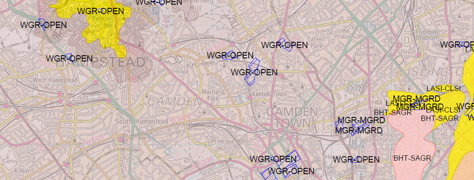
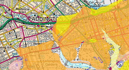
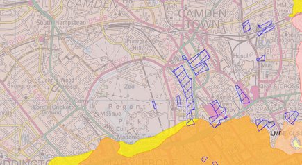
The most recent interpretation of the geology of Great Britain mapped to 1:50,000 scale by the British Geological Survey.

BGS 1:50,000 mapping from Joanna James Map Portal.

Features & benefits.

BGS geological data overlaid onto 1:50,000 Ordnance Survey mapping.

Although geology of Great Britain remains largely unchanged, constant updates to the mapping are made as understanding improves with technological advances in investigation, excavation & natural ground movement.

ORDER
British Geological Survey 1:50,000 mapping from Joanna James Map Portal.
BGS 1:50,000 mapping for Business Professionals from the Joanna James Map Portal

Perfect for

  • Local planning

  • Contsruction

  • Engineering

  • Site evaluation

  • Environmental management

Product info

Supplied as a layered PDF combining vector (line and point) geology & image-based background mapping.

This British Geological Survey 1:50,000 scale geology product offers:

  • OS 1:50,000 mapping

  • BGS Bedrock (Solid) Geology

  • BGS Superficial (Drift) Geology

  • BGS Linear features – (e.g. faults and folds)

Also included where mapped are:

  • Artificial Ground Geology

  • Mass Movement Geology

Coming soon.

Get in touch for samples in the meantime info@joanna-james.com

Order now from Joanna James Map Portal

ENTER