ORDNANCE SURVEY VECTOR MAP LOCAL

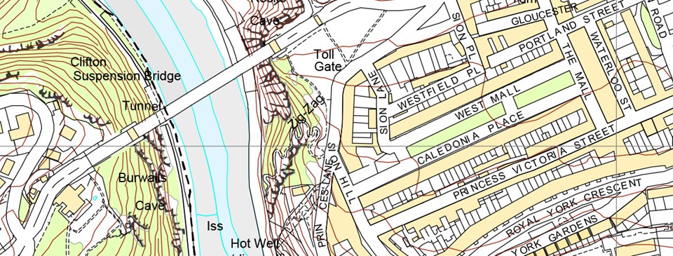
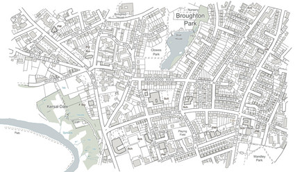
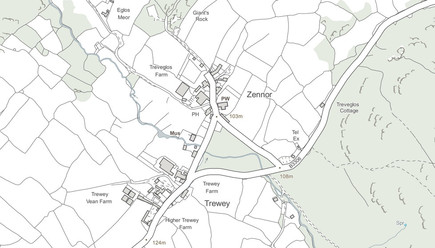
A highly-detailed, customisable, street-level map. Shows fences, building outlines, paths and street names, for the accurate lie of the land.

Ordnance survey MasterMap from Joanna James Map Portal.

FEATURES & BENEFITS

OS VectorMap Local is designed for creating graphical mapping, it can be used as is or provide a highly versatile geographic context for overlaying map data features.

The vector dataset version allows you to easily edit and customise the data to suit your application, such as adding or removing features and changing colour and styling. Alternatively, you could opt for a ready-to-use pre-defined raster version.

Order From Map Portal
OS Vector Map Local
OS Vector Map Local

VML INCLUDES:

  • Generalised building outlines

  • Contour lines

  • Field boundaries

  • Road centre lines

  • Railways

  • Urban extents

Product info

Raster (print ready):

  • Georeferenced TIFF
  • Georeferenced JPG
  • Georeferenced TIFF_Lzw (for map information)
  • PDF

Vector (data export):

  • DXF
  • SHP
  • TAB
  • MIF

OS VML is perfect for:

  • Display information online
  • Asset management
  • Land planning and use
  • Public consultation documents

They’re on the way.

Get in touch for samples in the meantime info@joanna-james.com

Order From Map Portal