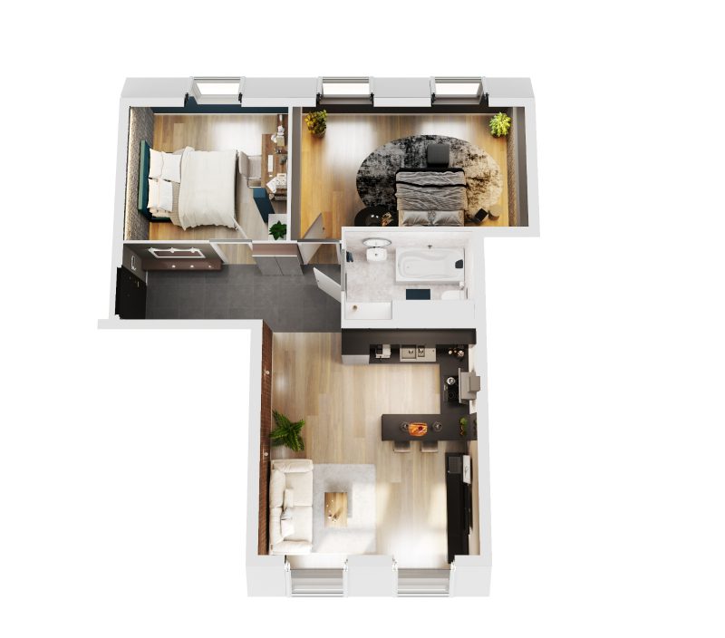
3D floor plans for property listings are now widely used across UK property marketing because they improve how spatial layouts are communicated at an early decision stage. Buyers, tenants and investors increasingly rely on digital listings before visiting sites, which makes clarity essential.
Traditional 2D drawings often require technical interpretation. A 3D representation transforms the same underlying data into a visual format that is easier to understand quickly. This is particularly important for developers, architects and property consultants working across design, planning and marketing workflows.
What 3D floor plans are
3D floor plans are spatial visualisations created from architectural or survey data that represent internal layouts in a simplified three dimensional form. They show room relationships, circulation and proportions in a single view.
They are typically produced using CAD drawings, BIM models or measured building survey data. The aim is not decoration but accurate spatial communication for professional property use.
For a deeper understanding of modelling workflows, see 3D Models service.
Why they matter in UK property workflows
3D floor plans support communication between technical teams and non technical stakeholders across UK property workflows. They are commonly used in early stage marketing, planning presentations and design coordination.
Developers rely on them for off plan sales activity. Estate agents use them to improve listing clarity and reduce uncertainty around layout interpretation. Planning consultants often include them to support visual understanding within broader submission packs.
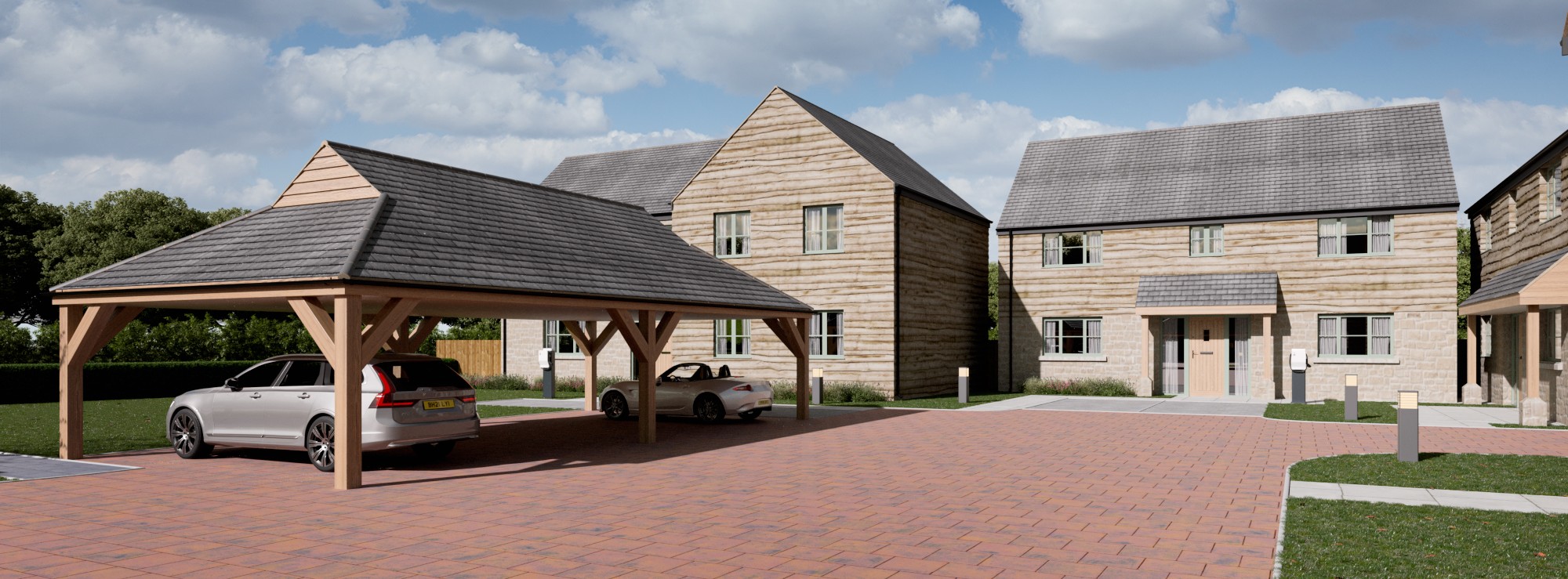
They also sit alongside wider visual outputs such as CGI and mapping data, forming part of a coordinated project presentation set. This can be explored further through
CGI Visualisations.

Technical inputs and data sources
The accuracy of a 3D floor plan depends entirely on the quality of its input data. Most projects begin with CAD files such as DWG or BIM formats including Revit or SketchUp. Where these are not available, measured building surveys provide the dimensional foundation.
Common inputs include:
- CAD drawings (DWG)
- BIM models (Revit, SketchUp)
- Measured building surveys
- OS mapping for site context
- GIS or LiDAR datasets where required
These datasets are structured into a model that prioritises geometric accuracy before any visual styling is applied.
For spatial reference integration, see OS Mapping.
Authoritative UK mapping standards can also be referenced via Ordnance Survey UK.
Common issues and risks
One common issue is the use of outdated CAD files. When drawings are not updated, final outputs may not reflect current design intent or site conditions.
Over-detailing is another challenge. Excessive visual complexity can reduce readability, which undermines the purpose of a floor plan.
In refurbishment projects, lack of alignment between survey data and existing structures can also introduce dimensional inaccuracies.
Coordination gaps between technical production and marketing teams may result in outputs that do not match listing requirements or intended presentation formats.
How Joanna James supports delivery
The production workflow is structured to maintain consistency between raw data and final output across all stages.
Typical workflow:
- Review of CAD or survey inputs
- Geometry creation based on verified data
- Structured visual development for property use
- Quality assurance for spatial consistency
- Delivery in marketing ready formats
Measured survey inputs used in this workflow can be explored at Measured Building Surveys.
This structured approach ensures outputs can be used across marketing, planning and design communication without requiring rework or reinterpretation.
Practical checklist
- Confirm CAD or survey data is current and complete
- Define intended use (marketing, planning or design coordination)
- Agree furnishing level and visual style early
- Confirm required output formats before production
- Ensure measurement consistency across all inputs
- Align timelines with project milestones
Frequently asked questions
3D floor plans are used to present internal layouts in a visual format that is easier to interpret than technical drawings. They help users understand spatial relationships quickly during property evaluation.
3D floor plans are accurate when based on verified CAD, BIM or measured survey data. Accuracy depends entirely on the quality and consistency of the source inputs.
CAD drawings, BIM models or measured building surveys are typically required. These provide the spatial foundation for modelling and visualisation.
Production time depends on complexity and input quality. Smaller layouts can be completed quickly, while larger developments require additional modelling and review stages.
3D floor plans support property marketing by improving clarity and engagement in listings. They are widely used across UK estate presentations and development brochures.
Closing CTA
3D floor plans continue to play a practical role in UK property communication, particularly where clarity and spatial understanding are critical at early project stages. When built from accurate CAD or survey data, they support both marketing and technical workflows effectively.
To discuss requirements or align your project data with structured production workflows, Request 3D Model Support with the Joanna James team for UK focused delivery.