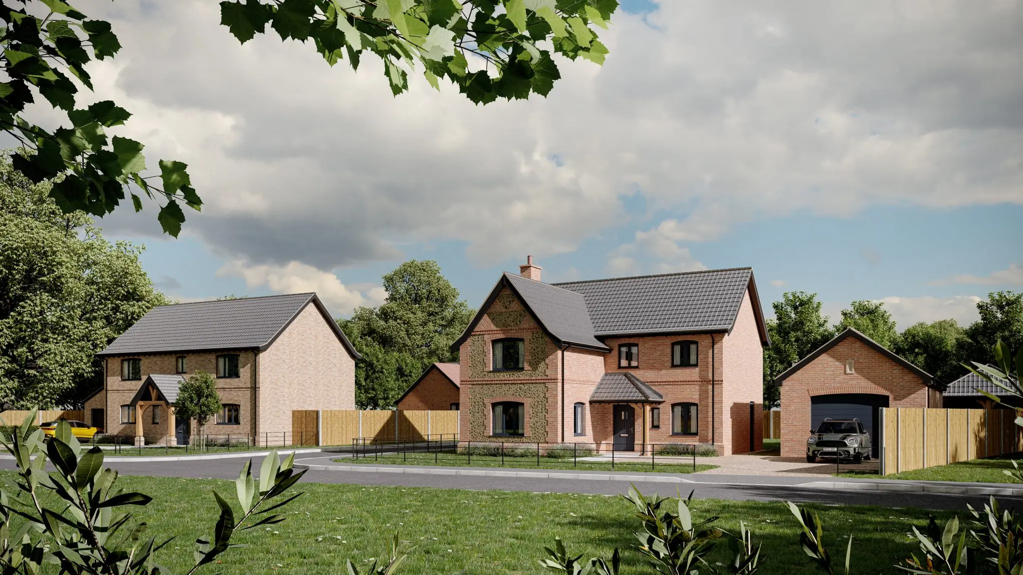
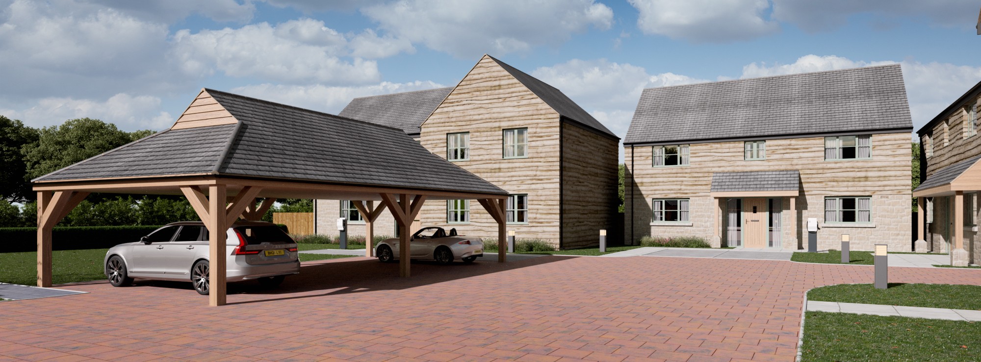
CGI site plans for new housing developments are now a core part of how UK planners, developers and consultants communicate proposals clearly. They translate technical drawings, CAD files and mapping data into a visual format that is easier to assess at scale. In housing schemes where layout clarity directly influences planning decisions, the quality of these visuals matters. A well constructed CGI site plan helps align design intent with local authority expectations and reduces ambiguity during review stages.
What CGI site plans are and how they are used in housing development
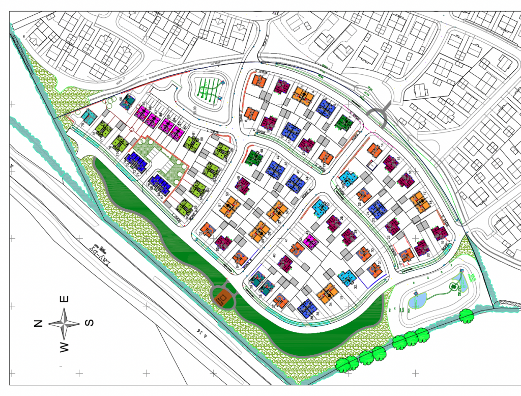
A CGI site plan is a spatially accurate digital visualisation of a development layout, typically built from CAD, OS mapping or survey data. It shows proposed housing, roads, landscaping and surrounding context in a structured visual format.
These outputs are used across early design review, stakeholder engagement and planning submissions. In housing development workflows, they help translate technical site layouts into something that can be reviewed quickly by both technical and non technical audiences.
For developers, the key value lies in clarity. For planners, it is consistency with submitted drawings. For architects, it is spatial validation of design intent.
Why CGI site plans matter in UK planning and development workflows
In UK planning, clarity of spatial information is critical. Local authorities need to understand how a scheme sits within its environment, how density is distributed and how access and movement are handled.
CGI site plans support this by combining mapping accuracy with visual interpretation. They sit between technical CAD drawings and fully rendered architectural imagery, making them particularly useful during planning application stages.
They also help reduce back and forth during review cycles by improving initial submission clarity, especially in larger housing schemes where site context is complex.
Technical considerations behind accurate CGI site plan production
Accuracy in CGI site plans depends on the quality and integration of source data. Typical inputs include OS MasterMap, CAD drawings (DWG), GIS layers, LiDAR data and measured survey information.
These datasets define:
- Building footprints and layout geometry
- Ground levels and topographical conditions
- Site boundaries and access routes
- Surrounding infrastructure and context
Software pipelines often involve Revit, AutoCAD, SketchUp and GIS platforms, depending on project requirements. The final visual output is then refined to ensure proportional accuracy and consistent spatial alignment.
Where housing developments require planning submission, maintaining alignment between data sources is essential to avoid inconsistencies between drawings and visuals.
Common issues in housing development visualisations
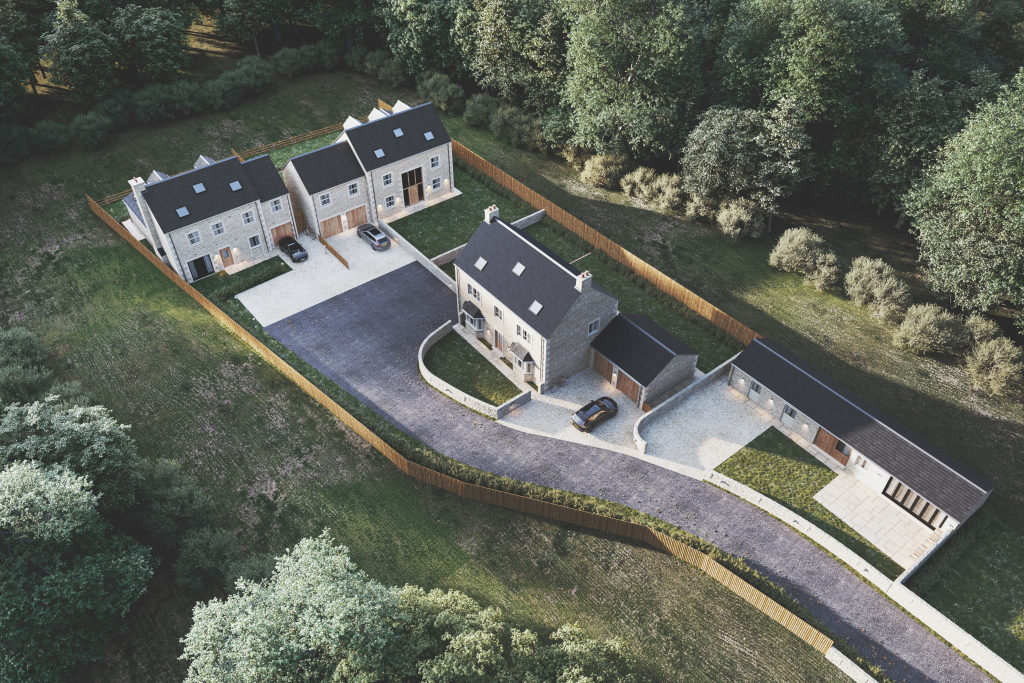
Several avoidable issues can reduce the effectiveness of CGI site plans:
- Misalignment between CAD drawings and OS base data
- Over stylised visuals that reduce planning clarity
- Missing context around surrounding built environment
- Inconsistent scale representation across drawings
- Lack of coordination between architectural and planning datasets
These issues can lead to clarification requests from local authorities, slowing down approval timelines. In most cases, the problem is not visual quality but data inconsistency at the source stage.
How Joanna James produces CGI site plan outputs for planning and design
The production process is structured around spatial accuracy and planning usability.
It typically involves:
- Reviewing CAD or survey data for consistency
- Aligning site geometry with OS mapping references
- Building a spatially accurate 3D or hybrid visual model
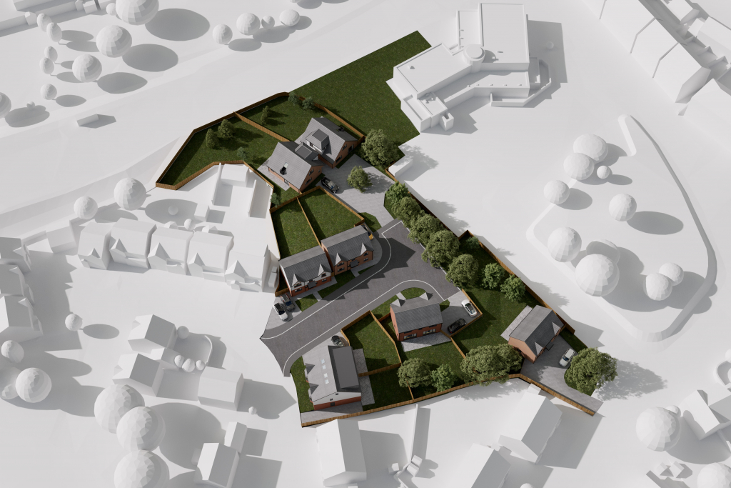
- Integrating context such as terrain, access and surrounding development
- Producing final outputs suitable for planning submission or stakeholder review
This approach ensures outputs are not just visually consistent but also structurally aligned with planning documentation.
Practical checklist before commissioning a CGI site plan
- Confirm OS or CAD base data is up to date
- Ensure site boundaries are clearly defined
- Provide context for surrounding buildings or infrastructure
- Specify planning or marketing purpose early
- Check required output formats for submission
- Align expectations between architect, planner and CGI provider
Clear briefing at this stage reduces revision cycles later in the workflow.
Frequently asked questions
CGI site plans are used to visually communicate housing layouts for planning, design and stakeholder review. They help translate technical drawings into clear spatial representations that support decision making.
CGI site plans are accurate when built from verified OS or survey data. Accuracy depends on the quality of CAD inputs and how well they are aligned with spatial datasets.
CGI site plans typically require CAD drawings, OS mapping data or measured surveys. Additional GIS or LiDAR data may be used for more complex terrain or infrastructure conditions.
Production time depends on complexity and data readiness. Straightforward residential layouts are typically faster than large scale masterplans requiring multiple data sources.
CGI site plans support planning submissions by improving clarity and communication. They do not replace technical drawings but complement them within the wider application package.
Closing CTA
Clear, accurate site visuals help reduce uncertainty during planning and improve communication across design teams. If you are working on a housing development and need spatially reliable CGI outputs, it is worth aligning early with your data and planning requirements.
Request a CGI Quote to discuss your housing development site plan requirements with the Joanna James team.