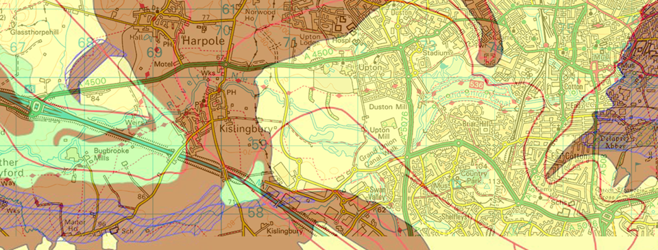
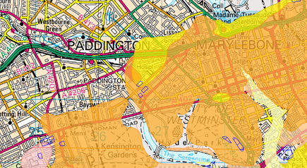
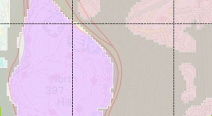
Combine British Geological Survey 1:50,000 scale geological mapping & BGS GeoSure for a full understanding of the rock types.
Features & benefits.
BGS GeoSure component is complimented by the British Geological Survey 1:50,000 map data which underpins ratings given in the various GeoSure categories.
Comparing the two datasets quickly reveals a deeper understanding of why risks may have been attributed to any given area.