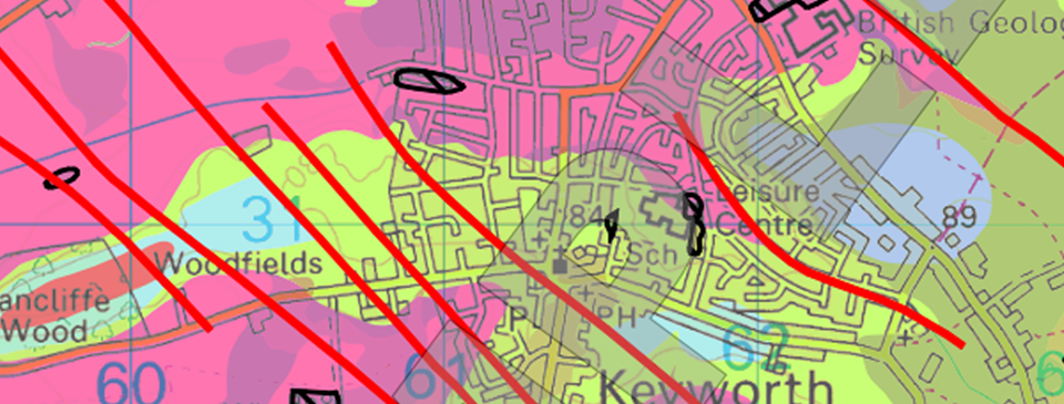
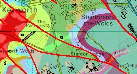
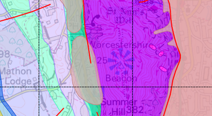
British Geological Survey 10k geology data overlaid onto Ordnance Survey 10k mapping.
The product covers around 30% of the UK – as the product is not complete you will note the greyed out areas where data is not available.
The mapping data is the most detailed geological mapping available from the British Geological Survey (BGS), consisting of four polygon layers.
Supplied as PDF
They’re on there way.Get in touch for samples in the meantime info@joanna-james.com