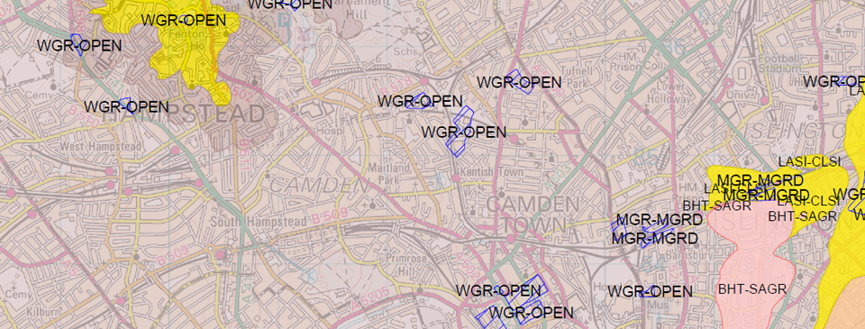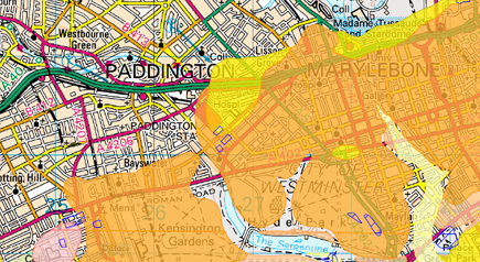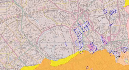
The most recent interpretation of the geology of Great Britain mapped to 1:50,000 scale by the British Geological Survey.

BGS geological data overlaid onto 1:50,000 Ordnance Survey mapping.
Although geology of Great Britain remains largely unchanged, constant updates to the mapping are made as understanding improves with technological advances in investigation, excavation & natural ground movement.


Supplied as a layered PDF combining vector (line and point) geology & image-based background mapping.
Coming soon.Get in touch for samples in the meantime info@joanna-james.com