High Detail 3D Model of London is captured from the latest 2016 High-Res imagery. This model is currently the only wide area 3D model of London captured from single source survey dataset in uniform high level of detail. Customers can chose to subscribe to either 25 km2 or 40 km2 of always updated and upgraded 3D Model of London.
The dataset is accurate to 15 cm in all axis and includes all roof features accurately captured. The terrain is captured using same photogrammetry technique and source imagery and is separated into land use. The model can be supplied as AutoCad solid .DWG, SketchUp .SKP and .FBX files for easy editing. For state-of the-art presentations and simulations, this 3D Model of London is also supplied imported into Unreal Engine 4.
High Detail 3D Model of London is available on a 3 year, company-wide multiple use licence. Updates to dataset and Unreal Engine 4 app are delivered every 1-2 months.
Save 20% by purchasing 3 year subscription in single payment!
25 km2 High Detail 3D Model for equivalent of £800 + VAT / month.
Save 10% by purchasing 3 year subscription in 3 yearly payments.
25 km2 High Detail 3D Model for equivalent of £900 + VAT / month.
Spread the cost of access to 3D Model of London by paying monthly.
25 km2 High Detail 3D Model for £1,000 + VAT / month.
Save over 30% by purchasing 3 year subscription in single payment!
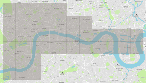
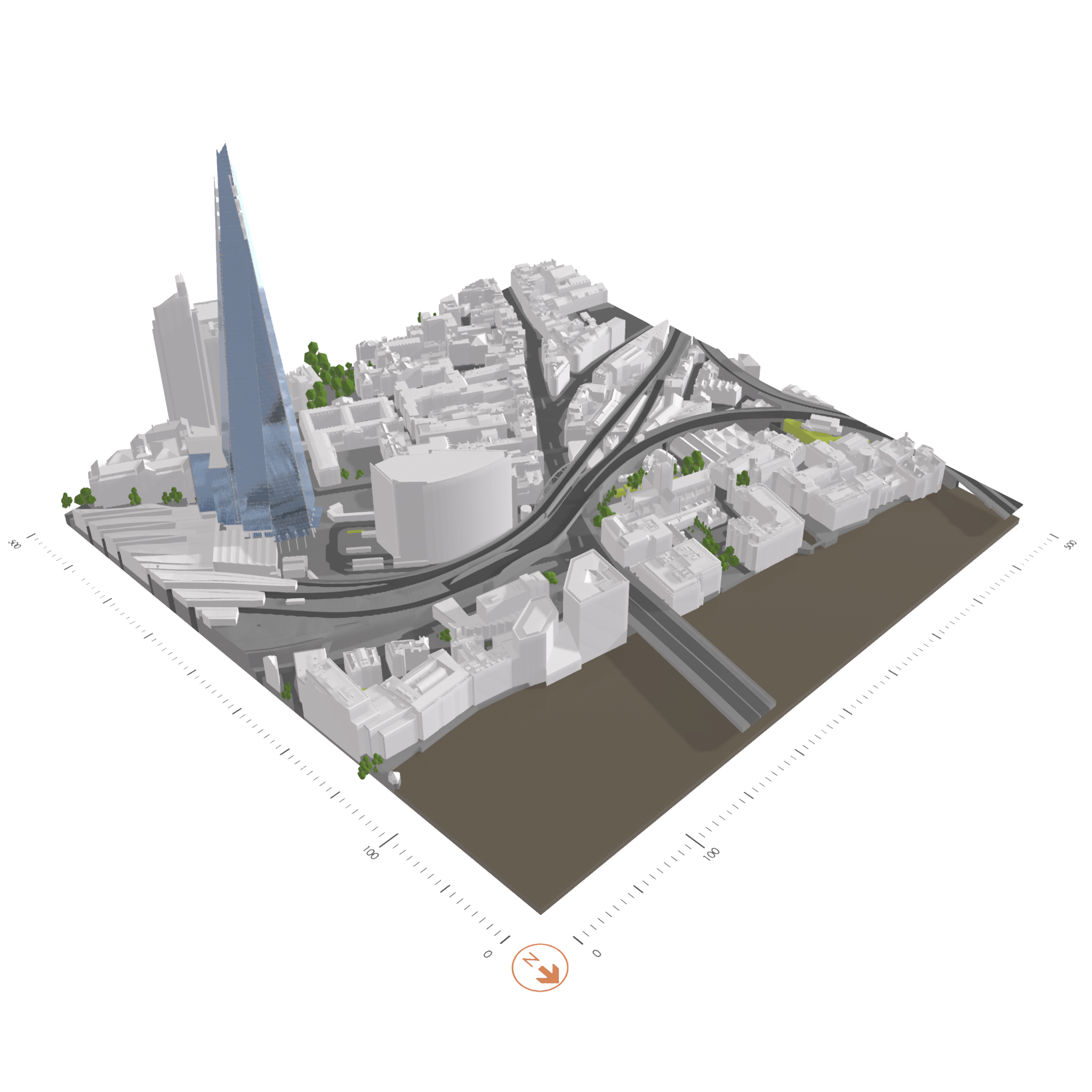
40 km2 High Detail 3D Model for equivalent of £1,000 + VAT / month
Save 10% by purchasing 3 year subscription in 3 yearly payments.
40 km2 High Detail 3D Model for equivalent of £1,350+VAT / month
Spread the cost of access to 3D Model of London by paying monthly.
40 km2 High Detail 3D Model for £1,500 + VAT / month.
We’ve made subscription to London 3D Model from Joanna James the most versatile & inexpensive 3D Model of it’s kind.
The Bristol 3D Model is delivered in AutoCad Solid DWG, SketchUp SKP and Filmbox FBX formats for easy editing that suits most workflows. The 3D Model is easy to import into Revit, 3D Studio Max, Maya or Cinema 4D. Need a different format? We are always happy to consider translating entire dataset into a format of your choice.
Our licence allows unlimited number of users within the company to use of the 3D Model data on multiple projects. Tailor-made for Architects, Developers and Building consultants who either work on many projects in Bristol or require large high detail 3D Model of Bristol for their projects.
The High Detail 3D Model of Bristol is made of Level 3 models across the entire dataset. The uniformity of level of detail is a unique feature of our wide area model. Wherever the location, the 3D model will be the same accurate and detailed Level 3 model with 15 cm accuracy.
The files are structured in 500 x 500 meters (0.25 km2) tiles which correspond to OS National Grid, allowing for easy editing of the areas you would like to work on without loading the entire 3D city model. It also allows for easy replacement of an area with higher detail / higher accuracy models, whether purchased from us or third parties.
.All subscribers receive updates and upgrades to the 3D model through the subscription period with at least 1 major update from new aerial survey. Update usually contains areas of change which has been recaptured to reflect the environment today. Upgrade is usually of Buildings models from Level 3 to Level 4, but can be upgrade of a terrain file, statues or Future Skyline buildings.
3D Models of consented and under construction landmark developments are included in the Unreal App, allowing customers to design and visualise for London of future. Constantly reviewed and updated, Future Skyline layer now includes Battersea, Nine Elms, Southbank, Blackfriers, City of London and Canary Wharf.
High Detail 3D Model of London comes imported into Unreal Engine 4 environment and customers get both Front end and Back and of the App. This allows for easy viewing of the entire 3D Model, importing your projects in, creating interactive visualisations, databases overlays and many more functionalities. Customers can create own tools.
The High Detail 3D Model is made with high-end 3D printing in mind. Files are easy to print using most office and professional 3D Printers. Because the 3D Model is structured in tiles, you can easily build larger models using printers with smaller build volume.
Subscribers to High Detail 3D Model of London receive 20% off our entire range of 3D products and services. Whether you need higher detail 3D models for Central London, Level 3 models outside of the subscription area or need a 3D Model of different city in United Kingdom, 20% discount will apply to your order.
Using the incredible Unreal Engine Software we’re able to produce stunning renders like the video below. It’s included in the 3D Model of London Subscription. No catch – just incredible value.
3D Model of London 2025 with Future Skyline Layer. This functionality is available to Joanna James 3D Model of London subscribers.
It allows stakeholders to visualise & design their proposals, knowing what major developments are currently consented or under construction.
Architects, planners & civil engineers subscribe to Joanna James’ 40km2 London 3D Model rather than purchasing individual 3D Models.
Furthermore you can work on multiple projects across the city, negating the need to make ad-hoc purchases & therefore make immediate cost savings.
Help yourself to a free sample of the Shard in London to understand more.
Comprehensive range of height & LiDAR data suitable for Local Authorities, Government agencies, private sector engineering, environmental & planning consultancies.
We are 2D & 3D specialists providing Digital Construction Data to Architects, Planners, Developers and Civil Engineers etc involved in developing the built environment.
Specifically, we supply highly cost effective Ordnance Survey Mapping, 3D Models, CGI Visualisations, Utility Reports, Height & LiDAR Data, Aerial Photos & Land & Building Surveys.